快速安装
@chmpr/map-draw 包的安装
创建基础点、线、面操作基础包,相对于使用ts+monorepo重写了mapbox-gl-draw的功能
@chmpr/map-draw 下载安装:
sh
npm add @chmpr/map-drawsh
pnpm add @chmpr/map-drawsh
yarn add @chmpr/map-draw如何使用
1. 创建Mapdraw实例 并将mapbox-gl的实例map传入
ts
import mapboxgl from 'mapbox-gl';
import 'mapbox-gl/dist/mapbox-gl.css';

import { DrawLineString, DrawPoint, DrawPolygon, MapboxDraw } from '@chmpr/map-draw';

mapboxgl.accessToken =
  'pk.eyJ1IjoidHVzaGFyLWZ1ZWxidWRkeSIsImEiOiJjbGIzYml6OWswY3EzM3dweDA1am82OGhqIn0.dQ99KMNUXLKu6MXi1VlwxA';
const map = new mapboxgl.Map({
  container: 'map',
  projection: { name: 'globe' },
  style: 'mapbox://styles/mapbox/streets-v9',
  zoom: 3,
});
//创建一个 Mapdraw实例
//isMeasure: true => 添加测绘功能  多边形:面积   线:长度  默认单位是 平方米  米  默认不添加将关闭测绘功能
const mapDraw = new MapboxDraw({ map });
2. 绘制点
ts
const point = new DrawPoint();
mapDraw.changeMode(point);
3. 绘制线
ts
const line = new DrawLineString();
mapDraw.changeMode(line);
4. 绘制面
ts
const polygon = new DrawPolygon();
mapDraw.changeMode(polygon);
回调函数
1. draw.create
创建feature完成时触发回调 返回当前features数组
ts
map.on('load', () => {
  map.on('draw.create', e => {
    console.log('create', e);
  });
});
2. draw.update
在编辑feature数据时触发回调 返回当前features数组
ts
map.on('load', () => {
  map.on('draw.update', e => {
    console.log('update', e);
  });
});
方法
1. setProperties
整体设置属性值
注意:必须先选中对应的点、线、面才能修改属性
ts
const geo = mapDraw.setProperties({
  'fill-color': 'red',
  'fill-outline-color': '#000',
  'fill-opacity': 1,
  'line-color': 'blue',
  'line-width': 10,
});
console.log(geo);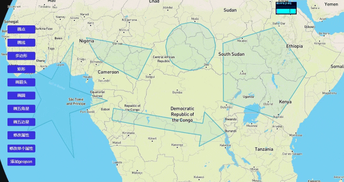
2. setProperty
设置单个属性值
注意:必须先选中对应的点、线、面才能修改属性
ts
const geo = mapDraw.setProperty('fill-color', 'green');
console.log(geo);
3.getSelectedFeature
获取选中的SelectedFeature
ts
const Feature = mapDraw.getSelectedFeature();
console.log(Feature);
4. getAllFeatures
获取所有features
ts
const Features = mapDraw.getAllFeatures();
console.log(Features);
5. addGeojson
加载geojson
ts
const geo = {
  type: 'FeatureCollection',
  features: [
    {
      type: 'Feature',
      properties: {},
      geometry: {
        coordinates: [
          [16.83593749999909, 29.458731185354324],

          [61.484374999999176, 35.8178131586959],
        ],
        type: 'LineString',
      },
    },
  ],
};
mapDraw.addGeojson(geo);
6. deleteSelectedFeature
deleteSelectedFeature
ts
const Features = mapDraw.deleteSelectedFeature();
console.log(Features);